Drone Survey
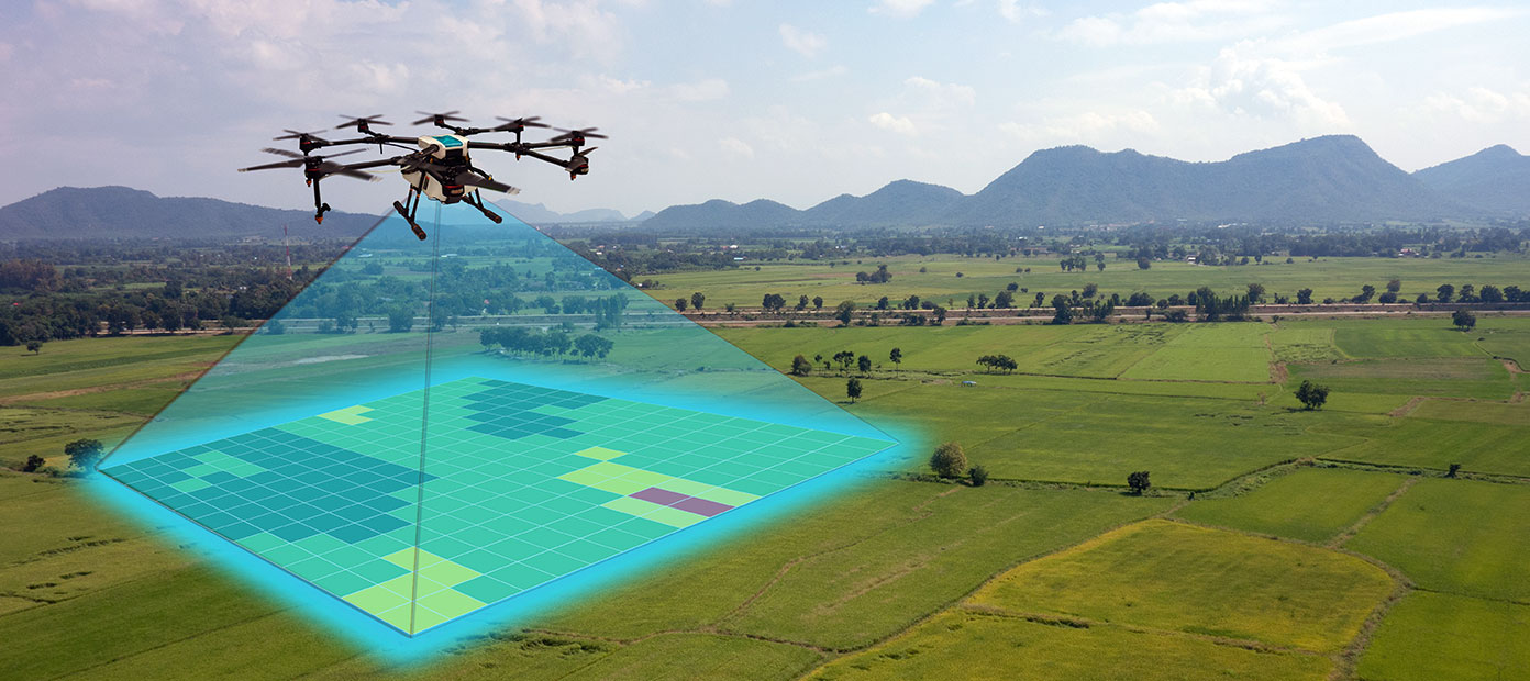
Centillion, with its in-depth experience in advanced innovative advanced technologies, provide value added solutions to our customers, through Drone based Smart Aerial Lidar field data collection and inspection services. Our solution includes high density LiDAR sensors and advanced high-resolution cameras and caters to industries such as Communications, Utilities, Highways/Roadways, Railways, Agriculture, Urban and Rural Planning, etc.
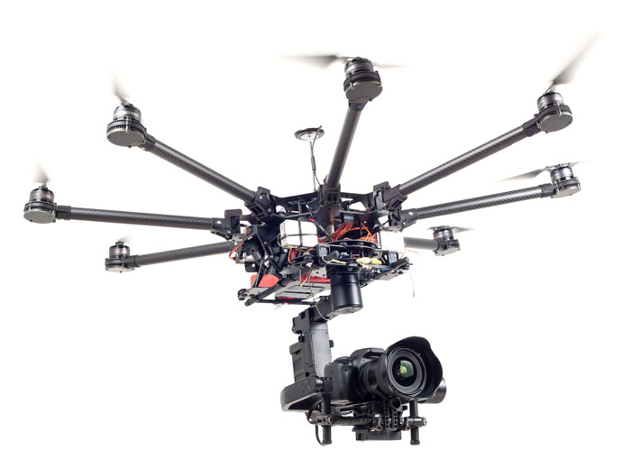
High altitude manual inspections of cell tower inspections require a person climbing towers, which is hazardous and high-risk activity. It can be avoided by using drone-based Inspections, which is more efficient and can be accomplished in shorter duration of time. Autonomous drones/high resolution Camera solutions are developed in-house by Centillion and offer alternative to manual inspections by providing quicker, precise, safe and cost-effective solutions.
Centillion’s strong domain expertise, coupled with in-house developed drones offer superior Survey and Inspection services. The usage of autonomous drones ensure that the human errors are eliminated and the whole inspection activity is safe and efficient.
SERVICE OFFERINGS
- Tower inspection services
- Pole Survey/Inspections
- Choice of real-time inspection or offline
- 3D modelling
- Antenna placement Inspection
- Antenna Count and diameter
- Height of placement from the Ground
- Inspection of Fixing
- Cable inspection
- High resolution photos/videos for regulatory compliance
Industries Served:
- Communications
- Utilities
- HDOT/Transport Agencies
- Railways
- Local government Agencies
- Agriculture
- Construction
Unique Value proposition:
- Certified Drone pilots
- End to end services
- Web access to Lidar / Image data
- Flexible pricing options
- Subscription Services